Getting familiar with AWS Ground-Station-as-a-Service
 on [Unsplash](https://unsplash.com/@wizwow?utm_source=unsplash&utm_medium=referral&utm_content=creditCopyText)](https://cdn-images-1.medium.com/max/9856/1*W-Ek8C2nVYDOrIsyuHtI9A.jpeg) Photo by Donald Giannatti on Unsplash
Photo by Donald Giannatti on Unsplash
Such a statement must’ve sounded like a sci-fi short story headline just a few years ago, but what follows below is very much real, thanks to modern cloud computing.
I’ve always been curious about how firms like ISRO, NASA and weather companies handle streaming of their data. Consider this usecase: how does NASA’s CYGNSS Mission handle exchanging data with their hurricane-monitoring satellites? At a birds’ eye view (no pun intended), their architecture is quite simple: have a set of “ground stations” placed across different regions on Earth, that control and communicate with satellites as they pass over them during their orbital motion. Right at this moment, it’s already obvious that setting up such an infrastructure is out of reach for all but the most well-funded agencies (even after taking cost-effective satellite launchers like SpaceX into account). But even if such an infrastructure is set up, these firms need to write a lot of redundant business logic to communicate with their satellites and calibrate them with their ground stations. Often this lower-level software behaviour is essentially the same across agencies (and as such standardised open-source software can help a lot in this space by reducing development time and efforts).
At this point, if you’re a company with limited resources who wants to access such a satellite infrastructure for custom needs, the traditional approach is to lease such systems from the agencies that built them. This is both a complex and expensive process, and data upload / download (uplink / downlink in satellite lingo) is often charged separately (and heavily).
](https://cdn-images-1.medium.com/max/5102/1*D_7hNukX8f7gPGw0992wlw.png) Summary of satellite data infrastructure / processing challenges. Source: AWS re:Invent 2019
Summary of satellite data infrastructure / processing challenges. Source: AWS re:Invent 2019
Thus, there was this gap in the market for people with satellite infrastructure needs, where Amazon Web Services (AWS), with it’s globe-spanning cloud infrastructure, decided to step in. AWS Ground Station is a fully managed service that, in a nutshell, allows users to easily (and cost-effectively) control satellites. To quote their landing page, Ground Station also enables you to “downlink data to the AWS global infrastructure, where you can integrate with other AWS compute, storage, analytics, and machine learning services.”
You can now literally rent satellites, their massive ground stations infrastructure and their communication links for a relatively low cost of $180 an hour, all from the comfort of your laptop! Let that sink in for a moment!
Due to its sheer size and globe-spanning presence, AWS leverages its economies of scale to provide customers with a cheaper, on-demand access to satellites. In addition to inexpensive access, other benefits include convenient data processing using familiar AWS services, as well as immediate data ingress(because Ground Station directly connects ground antennas to AWS storage and compute). But how does the core workflow look like? Following is Ground Station’s condensed usage architecture:
](https://cdn-images-1.medium.com/max/2000/1*m28aPJcTxrdYe0-SJuUazw.png) Overview of AWS Ground Station Usage Architecture. Source: Ground Station Landing Page
Overview of AWS Ground Station Usage Architecture. Source: Ground Station Landing Page
What follows is a brief, high-level overview of how you can get started with AWS Ground Station and utilize it for your use cases: if you don’t have an AWS account, now’s a good time to sign up for the walkthrough ahead!
By default, no satellites are available for your account to use. Since Ground Station is still pretty much in infancy relative to other AWS services, and perhaps to prevent abuse, AWS doesn’t have a GUI to add satellites to your account. Instead, you have to email aws-groundstation[at]amazon[dot]com with the NORAD ID of the satellite and your AWS account number, and someone from their end will then contact you soon. In some cases FCC license information might also be needed. For example, see how to onboard NASA’s AQUA satellite and access its Earth observation data, all via AWS Ground Station in this in-depth guide.
Once you receive an affirmative response from Amazon’s end with the satellite being added, log in to your AWS console — You’d be greeted with the familiar AWS Console screen:
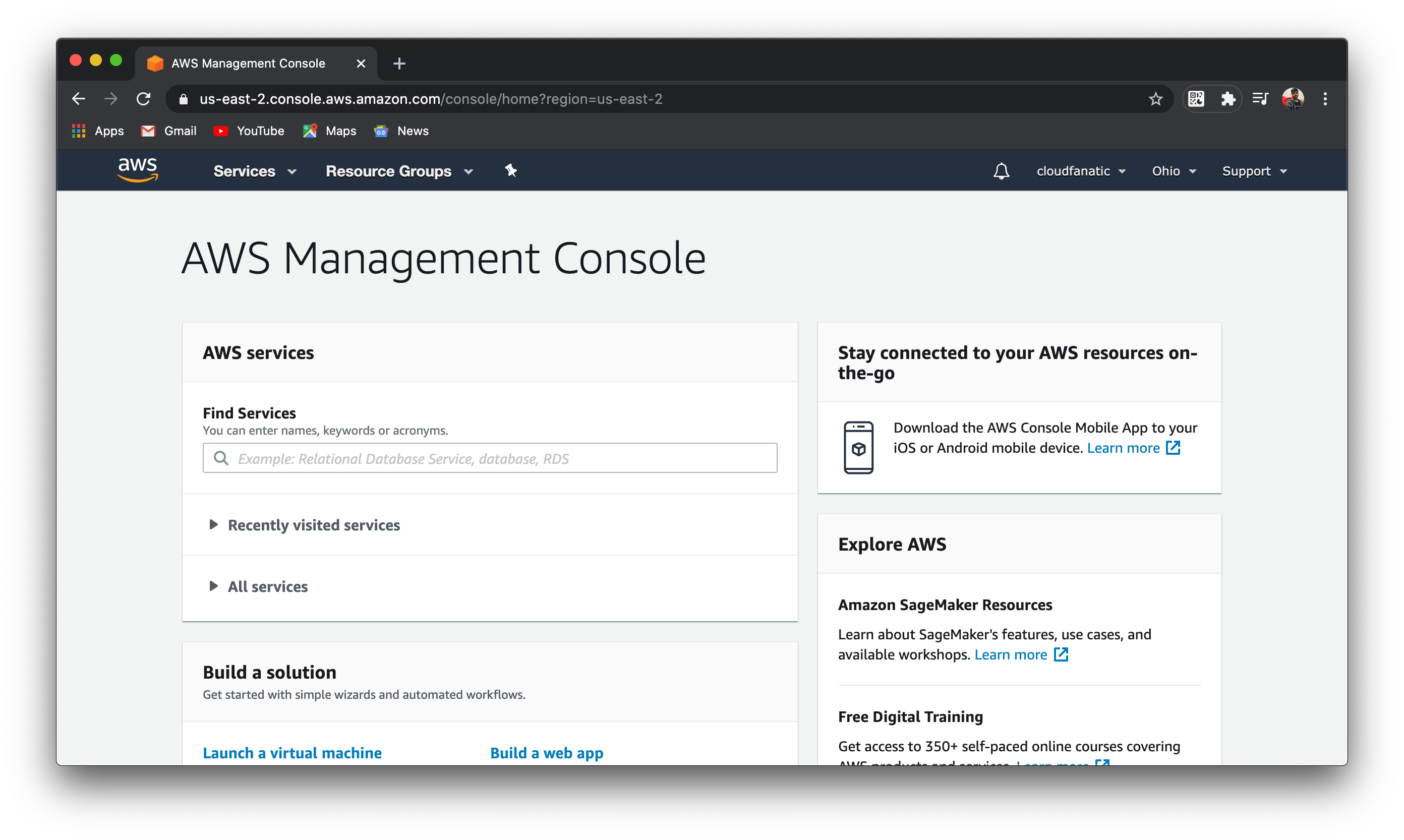 AWS Console Home
Now, just type “ground station” in the “Find Services” search bar and click on the recommendation that comes up:
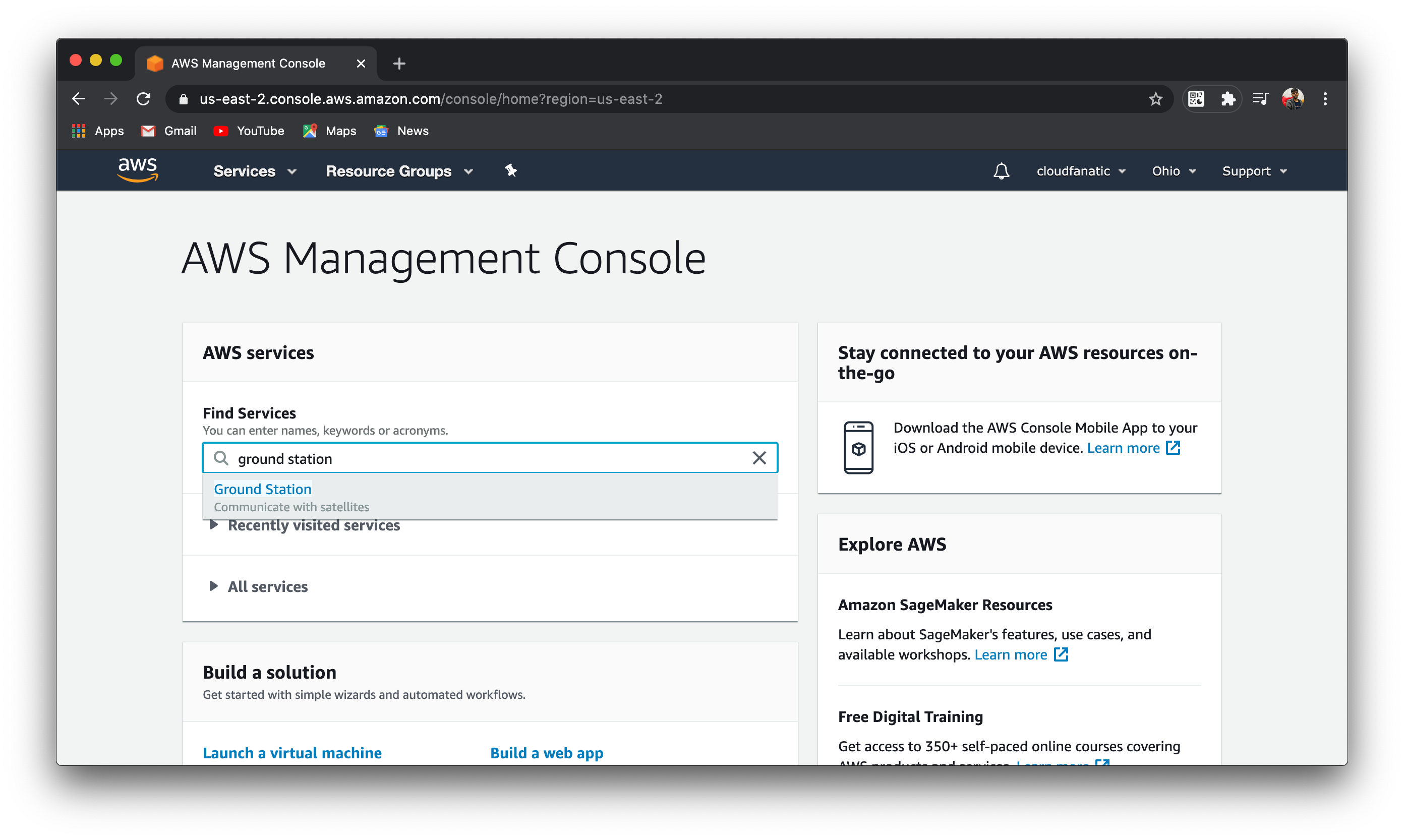 Search for the Ground Station service
That should direct you to the Ground Station home screen, which looks like the following:
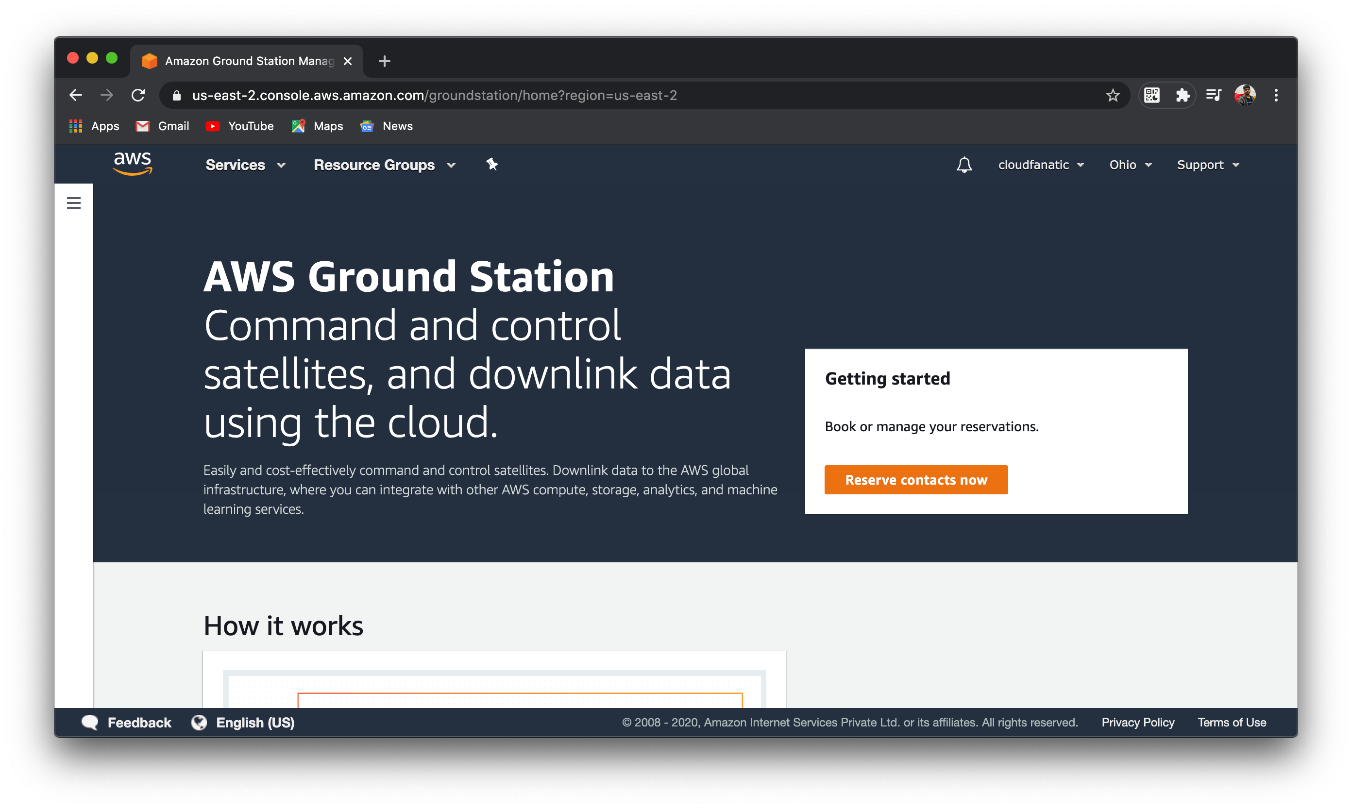 Ground Station home page in AWS Console
Click on the orange “Reserve contacts now” button to go to the Ground Station console:
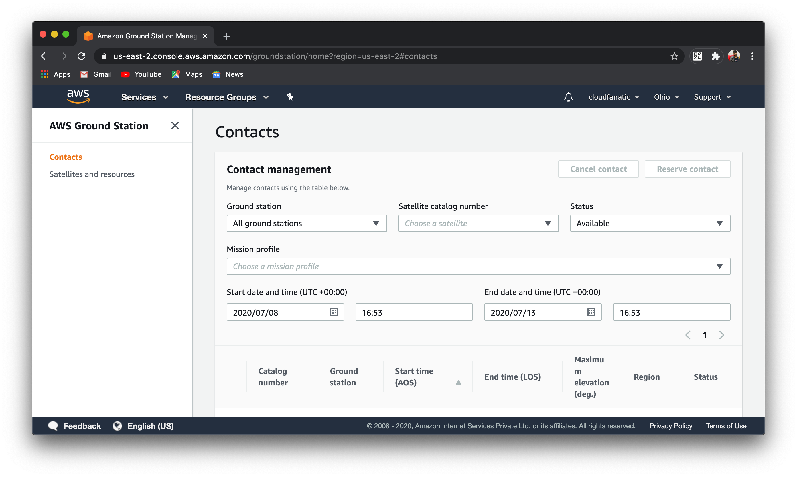 AWS Ground Station Console
The satellite whose details you emailed to Amazon must now show up in the “Satellite catalog number” dropdown. After you choose that, you can configure your mission profile and satellite contact schedule, then start fetching data in one of your AWS Virtual Private Clouds (VPCs). You can, for instance, store them in your AWS RDS instance or import it to Amazon Sagemaker to train a machine learning model — the possibilites are virtually endless. More details on these integration steps can be found in the in-depth guide mentioned above.
As you can already anticipate, AWS Ground Station has plenty of applications and the potential to implement them in relatively very low costs compared to the leasing approach described earlier. To quote AWS again, popular use cases include:
Business Trends Assessment
You can use radar satellite imagery of various business facilities such as parking lots, logistics centers, and retail stores to autonomously measure cars, traffic, and customer flow patterns, even in darkness or cloudy weather conditions. These signals can be processed in batch / realtime for business analytics and insights — perhaps with AWS Athena and Kinesis.
Natural Disasters
During natural disasters you can rapidly analyze downlinked imagery data to identify survivors, assess structural damage, and immediately stream this data to first responders and rescue teams. You can apply analytics and machine learning to this data to identify the safest exit routes and the best locations for temporary shelters and emergency medical facilities.
Accurate Weather Prediction
You can use several AWS cloud analytics services to analyze downlinked weather data from all over the world to more accurately predict weather patterns. This can be used to help ships, airplanes, trucks and people increase their awareness of inclement weather in their area.
As of this writing, AWS offers ground antennas in six regions: US East (Ohio), US West (Oregon), Middle East (Bahrain), EU (Stockholm and Ireland) and Asia Pacific (Sydney); more regions are expected to gain support in the coming months. Pricing is essentially the same across all the regions (again, as of this writing), starting from $3 / minute for narrowband, reserved satellite contact. See their pricing section for more details.
AWS already had significant customers, like Mapbox, who operated on satellite data and who demanded a more streamlined way to work with it. So they stepping in to this growing flood of data for geospatial applications — “Satellite data offers customers a profound way to build applications that help humans explore space and improve life on Earth”, said Shayn Hawthorne, general manager of AWS Ground Station in a news release.
In fact, he cited the inspiration behind Ground Station to be Blue Origin, which is Jeff Bezos’ privately owned space venture.
This post also appeared on Medium.